 3D
New — 60 mast sites now explorable in 3D
UK Mobile Signal
Checker — in 3D
Mobile coverage, broadband speed, base stations, aviation data and more for any UK postcode — now with 3D mast scenes you can orbit, zoom and inspect.
SW1A 1AA
M1 1AE
B1 1BB
LS1 1UR
EH1 1RE
CF10 1EP
Live scene — drag to orbit, scroll to zoom. Open the full 3D atlas
Operators
4 Networks
3D Scenes
60 Sites
Coverage
All UK
Price
100% Free
Live 3D scenes
Latest masts & areas in 3D
Sixty UK mast sites rebuilt as explorable 3D scenes from open survey data — landmark giants, interest-ranked and the original collection. Tap a card to load it in the viewer above, or open the full-screen atlas.
3D
↗
 3D
Strabane · County Tyrone
 3D
Mendlesham · Suffolk
 3D
Lichfield · Staffordshire
 3D
Dover · Kent
 3D
Selkirk · Scottish Borders
 3D
Caradon Hill · Cornwall
 3D
Stockland Hill · Devon
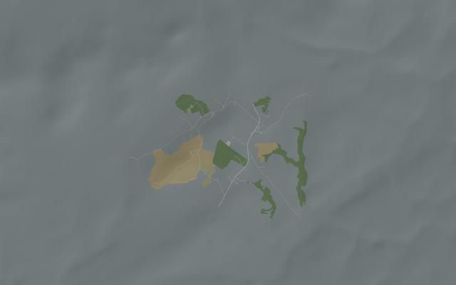 3D
Preseli · Pembrokeshire
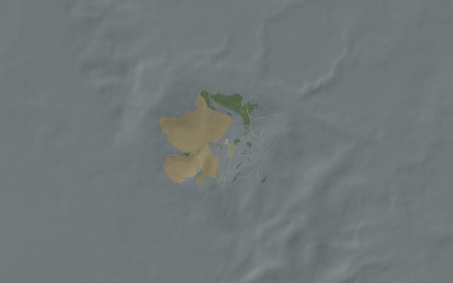 3D
Moel y Parc · Flintshire
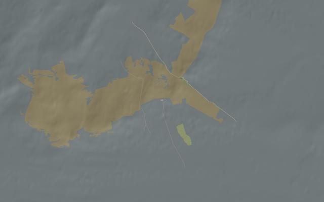 3D
Angus · Angus
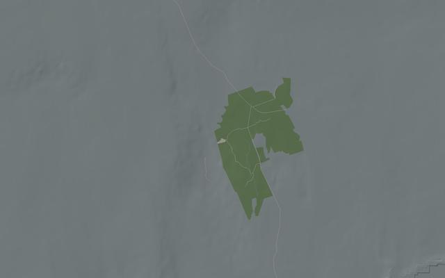 3D
Rumster Forest · Caithness
 3D
Burnhope · County Durham
 3D
St Hilary · Vale of Glamorgan
 3D
Tacolneston · Norfolk
 3D
North Hessary Tor · Dartmoor
 3D
Redruth · Cornwall
 3D
Sudbury · Suffolk
 3D
Oxford · Oxfordshire
 3D
Ridge Hill · Herefordshire
 3D
Huntshaw Cross · Devon
 3D
Darvel · East Ayrshire
 3D
Chatton · Northumberland
 3D
Burghead · Moray
 3D
Hannington · Hampshire
 3D
Divis · Belfast
 3D
Heathfield · East Sussex
 3D
Stokenchurch BT Tower · Buckinghamshire
 3D
Pye Green BT Tower · Staffordshire
 3D
Purdown BT Tower · Bristol
 3D
BT Tower · London
 3D
Droitwich · Worcestershire
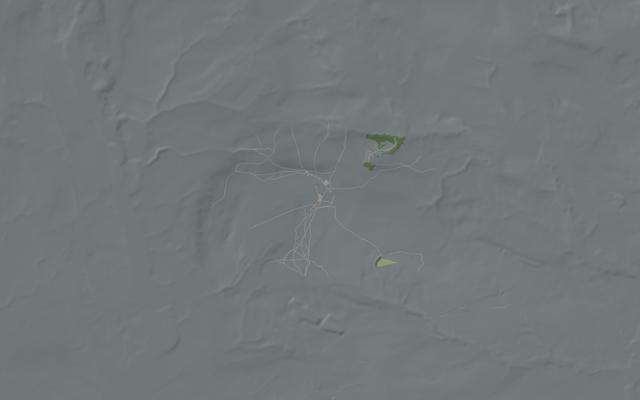 3D
Winter Hill · Lancashire
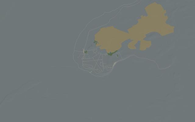 3D
Anthorn · Cumbria
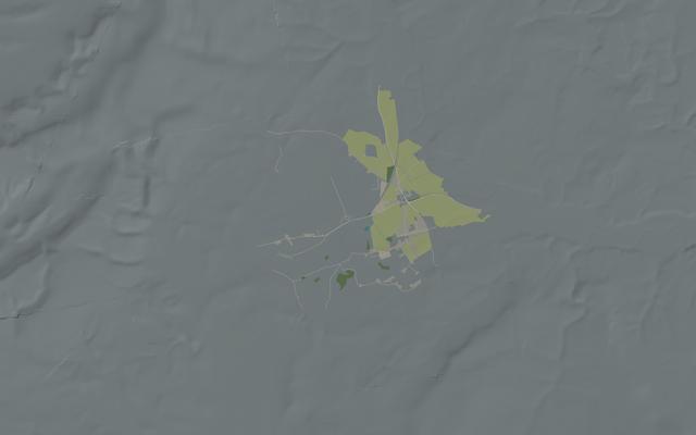 3D
Woofferton · Shropshire
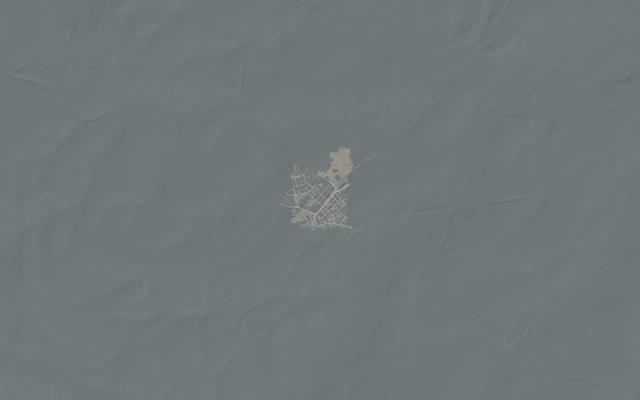 3D
BT Tower · Birmingham
 3D
Alexandra Palace · London
 3D
Sutton Coldfield · West Midlands
 3D
Mendip · Somerset
 3D
Bilsdale · North Yorkshire
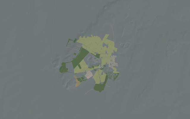 3D
Sandy Heath · Bedfordshire
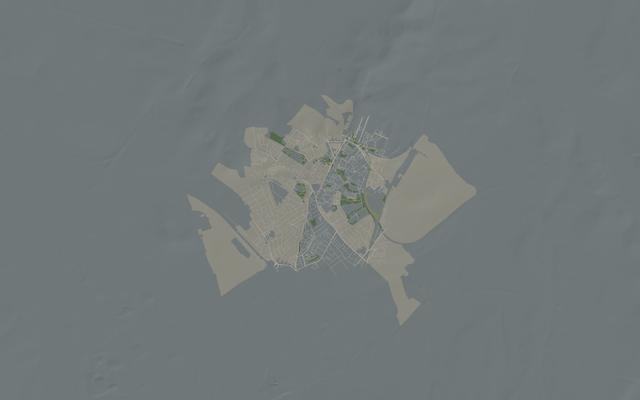 3D
Croydon · London
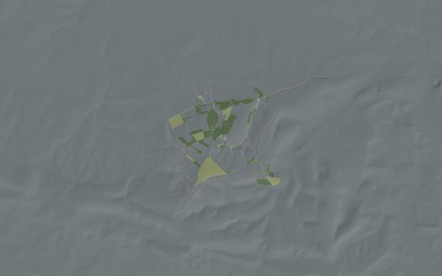 3D
Rowridge · Isle of Wight
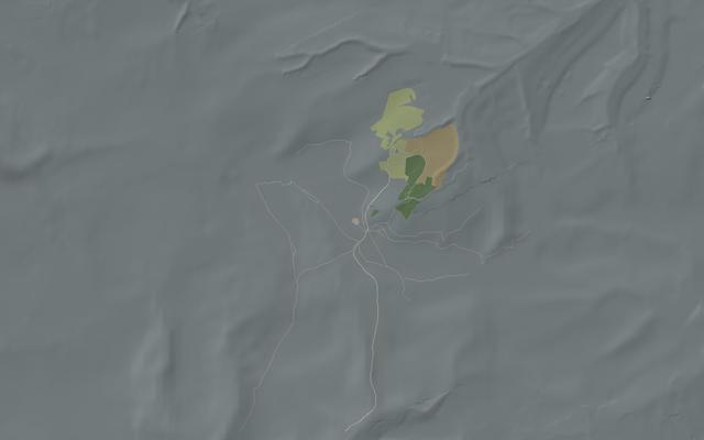 3D
Holme Moss · West Yorkshire
 3D
Black Hill · North Lanarkshire
 3D
Waltham · Leicestershire
 3D
Sutton Common · Cheshire
 3D
Wenvoe · Vale of Glamorgan
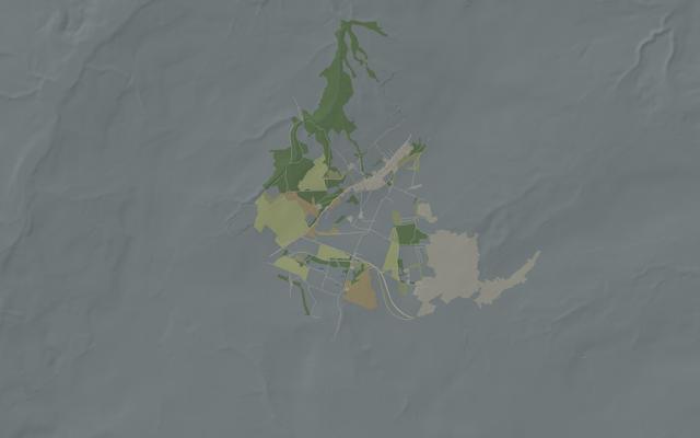 3D
Pontop Pike · County Durham
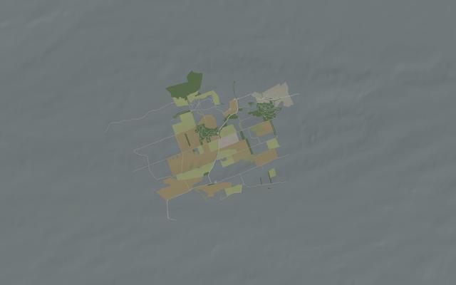 3D
Westerglen · Falkirk
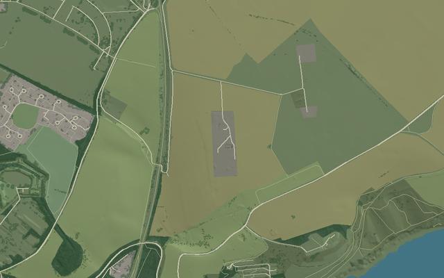 3D
Swingate · Dover
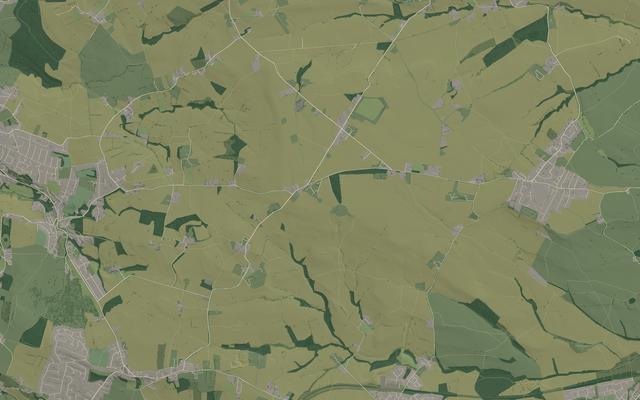 3D
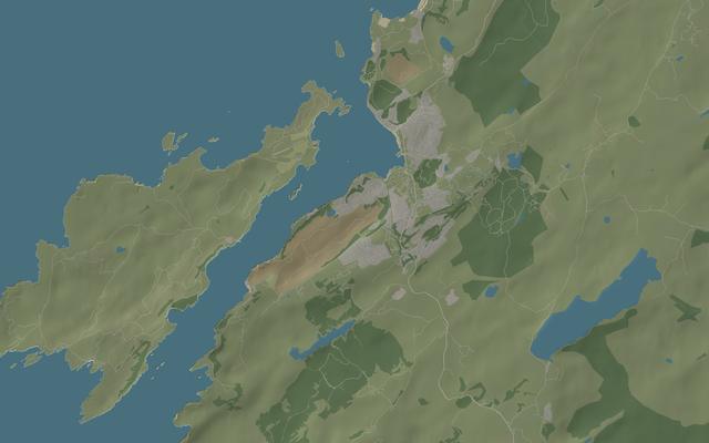
Emley Moor
 3D
Oban · Argyll
 3D
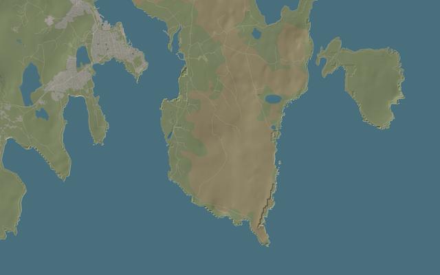
Bressay · Shetland
 3D
Copthorne Tara · Kensington
 3D
Skelton · Cumbria
 3D
Belmont · Lincolnshire
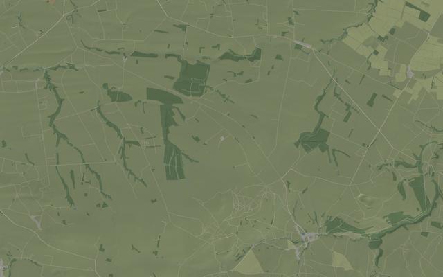 3D
Caldbeck · Cumbria
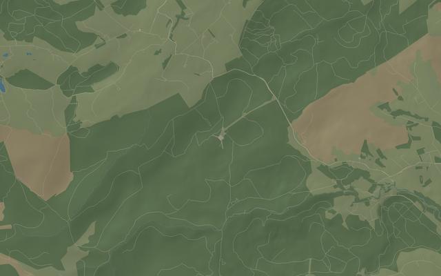 3D
Durris · Aberdeenshire
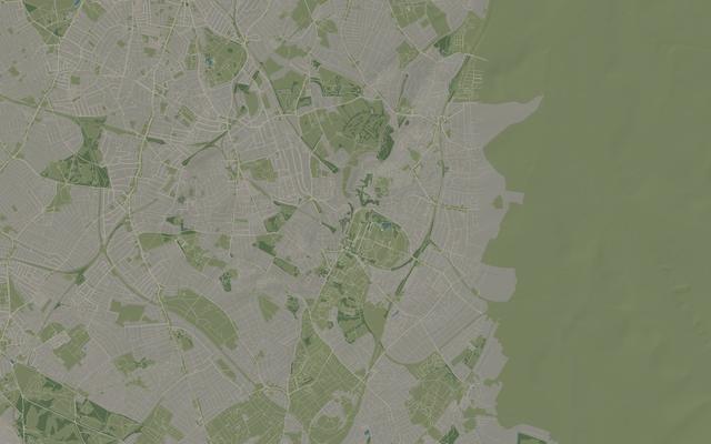 3D
Crystal Palace · London
Loading...
OSINT Intelligence Report
PREMIUM
Comprehensive open-source intelligence report for this location. Includes infrastructure analysis, risk assessment, connectivity profiling, network vulnerability mapping, historical data trends and executive summary.
£79.99
Free!
Excellent
3D Mast View
Detailed 3D is not yet available at this location. The coverage results on this page are unaffected. Interactive 3D mast scenes are currently prepared for sixty UK areas:
- Arfon, Gwynedd
- Strabane, County Tyrone
- Mendlesham, Suffolk
- Lichfield, Staffordshire
- Dover, Kent
- Selkirk, Scottish Borders
- Caradon Hill, Cornwall
- Stockland Hill, Devon
- Preseli, Pembrokeshire
- Moel y Parc, Flintshire
- Angus, Angus
- Rumster Forest, Caithness
- Burnhope, County Durham
- St Hilary, Vale of Glamorgan
- Tacolneston, Norfolk
- North Hessary Tor, Dartmoor
- Redruth, Cornwall
- Sudbury, Suffolk
- Oxford, Oxfordshire
- Ridge Hill, Herefordshire
- Huntshaw Cross, Devon
- Darvel, East Ayrshire
- Chatton, Northumberland
- Burghead, Moray
- Hannington, Hampshire
- Divis, Belfast
- Heathfield, East Sussex
- Stokenchurch BT Tower, Buckinghamshire
- Pye Green BT Tower, Staffordshire
- Purdown BT Tower, Bristol
- BT Tower, London
- Droitwich, Worcestershire
- Winter Hill, Lancashire
- Anthorn, Cumbria
- Woofferton, Shropshire
- BT Tower, Birmingham
- Alexandra Palace, London
- Sutton Coldfield, West Midlands
- Mendip, Somerset
- Bilsdale, North Yorkshire
- Sandy Heath, Bedfordshire
- Croydon, London
- Rowridge, Isle of Wight
- Holme Moss, West Yorkshire
- Black Hill, North Lanarkshire
- Waltham, Leicestershire
- Sutton Common, Cheshire
- Wenvoe, Vale of Glamorgan
- Pontop Pike, County Durham
- Westerglen, Falkirk
- Swingate, Dover
- Emley Moor, West Yorkshire
- Oban, Argyll
- Bressay, Shetland
- Kensington, London
- Skelton, Cumbria
- Belmont, Lincolnshire
- Caldbeck, Cumbria
- Durris, Aberdeenshire
- Crystal Palace, London
Browse the 3D scene catalogue → · UK tallest masts ranking →
3D scenes model terrain and structures from Environment Agency LiDAR, regional elevation data, OpenStreetMap and public evidence. They are dated evidence, not live network inventory, and a visually clear path does not guarantee mobile coverage. Sources and site dossiers are linked inside the 3D viewer.
Live Network Status
Loading...
Detailed Operator Coverage
Nearby Base Stations
0 base stations within 2km
Signal Intelligence
Broadband Speed
--
Fixed-line internet
Power Line Interference
--
RF environment
UK Ranking
--
vs national average
Public WiFi
--
Hotspots nearby
Underground Coverage
--
Transit mobile coverage
Weather Signal Forecast
Weather
--
--
Signal Impact
--
--
5G Rain Fade
--
mmWave degradation
Now+6h+12h
Network Performance 5 analyses
Network Congestion by Hour
--
00040812162023
Network Latency Estimates
Loading...
Speed Test
Loading...
Network Congestion Risk
Loading...
3G Sunset Impact Assessment
Loading...
Coverage History Timeline
Loading...
Connectivity & Broadband 6 analyses
Fibre Backhaul Availability
Loading...
Satellite Broadband Alternatives
Loading...
Nearest Data Centres
Closest Data Centre
--
Calculating...
Estimated Latency
--
To nearest data centre
Loading...
BT/Openreach Exchange Data
Nearest Exchange
--
Calculating...
Est. Line Length
--
Copper routing estimate
PSTN Status
--
Checking...
Loading...
Digital Deprivation Index
Loading...
Commuter Signal Corridors
Loading...
Planning & Infrastructure 5 analyses
Mast Planning Applications
Loading...
Mast Installation Cost Estimate
Loading...
Infrastructure Sharing
Loading...
Mast Regulations & Permitted Development
Loading...
Listed Buildings & Conservation Status
Loading...
Environment & Property 5 analyses
Terrain & Signal Propagation
Loading...
Building Age Profile & Indoor Signal Loss
Loading...
Electromagnetic Interference Sources
Loading...
Solar Panel Potential
Loading...
Environmental Noise Levels
Loading...
Area Context 7 analyses
Area Intelligence
Crime Rate
--
Loading...
Population Density
--
Network congestion indicator
Elevation
--
Affects signal propagation
Air Quality
--
Environmental index
Property Value
--
Average area price
Risk Assessment
Flood Risk
--
Infrastructure risk
Conservation Area
--
Planning difficulty
Aviation & Airspace
Nearest Airport
--
Calculating...
Drone Status
--
Checking restrictions...
Max Mast Height
--
Checking regulations...
Tallest Building
--
Estimated max height
Airspace Classification
--
Checking...
Local Amenities 5 analyses
Nearest Emergency Services
Police Stations
Loading...
Fire Stations
Loading...
Schools, Hospitals & Sensitive Sites
Loading...
EV Charging Stations Nearby
Loading...
Closest IT & Telecoms Businesses
Loading...
Free WiFi Locations
Loading...